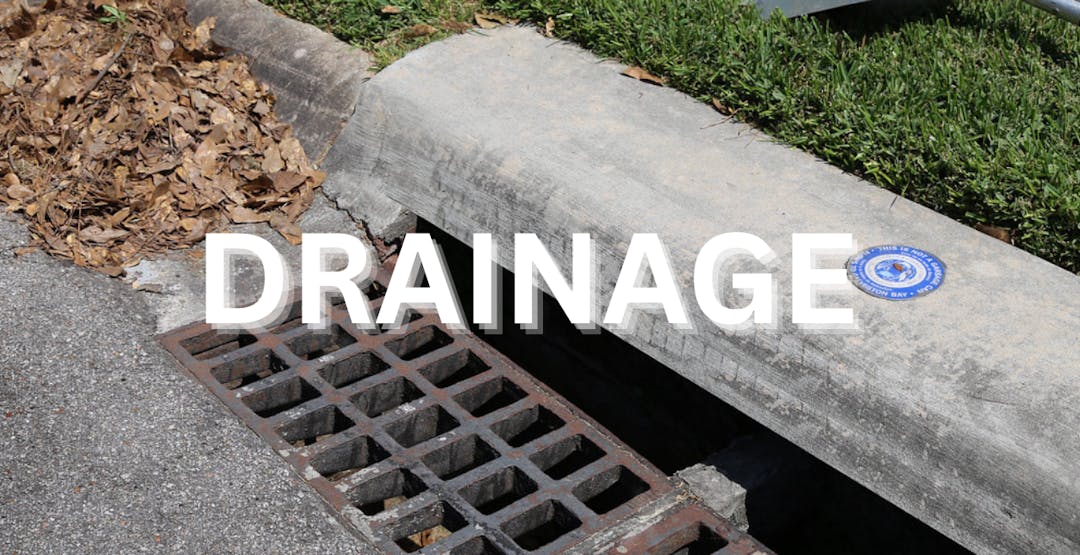
Turkey Gully

Share Turkey Gully on Facebook Share Turkey Gully on Twitter Share Turkey Gully on Linkedin Email Turkey Gully link

PROJECT NUMBER M-430100-0020-3

LOCATION Bevis Street from 27th Street to W. 20th Street, and W. 20th Street from Bevis to TC Jester

COUNCIL DISTRICT C

TYPE Drainage

START 2025

COMPLETION 2027

DETAILS This study will analyze the local drainage systems in the Shady Acres area that contribute stormwater flow into Turkey Gully (Harris County Flood Control District Unit No. E106-00-00). The plan will divert stormwater flow from Turkey Gully to White Oak Bayou.


MAP

Project Map


General Project Information

What is the purpose of this project?

The study will analyze local drainage systems in the Shady Acres area and recommend improvements to the local drainage systems that could help reduce flooding in Turkey Gully by diverting stormwater flows away from the Gully through new storm sewers and improving street and surface drainage conditions.

This study is being coordinated with the Harris County Flood Control District’s Turkey Gully study (Bond ID CI-030), which can be accessed using the link. These coordinated efforts aim to reduce the risk of flooding in the community around Turkey Gully.


How long is this project going to take to complete?
The analysis is anticipated to be completed in 2030.


Is there anything you want us to know?

You need to be signed in to add your question.

  • Share If this project opts to include storm drains and the associated road improvements, please consider extending the area north along Bevis an additional block to 610. This would improve traffic flows in & out of the neighborhood and the restraunts & bars on 20th. on Facebook Share If this project opts to include storm drains and the associated road improvements, please consider extending the area north along Bevis an additional block to 610. This would improve traffic flows in & out of the neighborhood and the restraunts & bars on 20th. on Twitter Share If this project opts to include storm drains and the associated road improvements, please consider extending the area north along Bevis an additional block to 610. This would improve traffic flows in & out of the neighborhood and the restraunts & bars on 20th. on Linkedin Email If this project opts to include storm drains and the associated road improvements, please consider extending the area north along Bevis an additional block to 610. This would improve traffic flows in & out of the neighborhood and the restraunts & bars on 20th. link

    If this project opts to include storm drains and the associated road improvements, please consider extending the area north along Bevis an additional block to 610. This would improve traffic flows in & out of the neighborhood and the restraunts & bars on 20th.

    David asked 5 months ago

    Howdy Neighbor! Thank you for sharing your concern with us. We have shared it with the project team.

  • Share Super Neighborhood 14 would like to host HPW CIP & TOD presenting Turkey Gully plans. on Facebook Share Super Neighborhood 14 would like to host HPW CIP & TOD presenting Turkey Gully plans. on Twitter Share Super Neighborhood 14 would like to host HPW CIP & TOD presenting Turkey Gully plans. on Linkedin Email Super Neighborhood 14 would like to host HPW CIP & TOD presenting Turkey Gully plans. link

    Super Neighborhood 14 would like to host HPW CIP & TOD presenting Turkey Gully plans.

    George asked about 1 year ago

    We have forwarded your request to the project team. Thank you.

  • Share W18th is a designated as a high access corridor for future but currently it is high injury network. Can the sidewalks in this project be greater than 6ft wide to allow different forms of non-vehicular traffic? ie bikes/pedestrians in a shared use path on Facebook Share W18th is a designated as a high access corridor for future but currently it is high injury network. Can the sidewalks in this project be greater than 6ft wide to allow different forms of non-vehicular traffic? ie bikes/pedestrians in a shared use path on Twitter Share W18th is a designated as a high access corridor for future but currently it is high injury network. Can the sidewalks in this project be greater than 6ft wide to allow different forms of non-vehicular traffic? ie bikes/pedestrians in a shared use path on Linkedin Email W18th is a designated as a high access corridor for future but currently it is high injury network. Can the sidewalks in this project be greater than 6ft wide to allow different forms of non-vehicular traffic? ie bikes/pedestrians in a shared use path link

    W18th is a designated as a high access corridor for future but currently it is high injury network. Can the sidewalks in this project be greater than 6ft wide to allow different forms of non-vehicular traffic? ie bikes/pedestrians in a shared use path

    George asked 9 months ago

    Howdy Neighbor! Your comments are noted. We noticed steep grade changes at the intersection of the existing parking lot east of Discount Tire. However, we will look into it during the design process. Thank you!

  • Share The Jan31 map showed a ditch (green line) extending along w20th street and cutting through E TC Jester. Is there an update that can show actual details of intersections? on Facebook Share The Jan31 map showed a ditch (green line) extending along w20th street and cutting through E TC Jester. Is there an update that can show actual details of intersections? on Twitter Share The Jan31 map showed a ditch (green line) extending along w20th street and cutting through E TC Jester. Is there an update that can show actual details of intersections? on Linkedin Email The Jan31 map showed a ditch (green line) extending along w20th street and cutting through E TC Jester. Is there an update that can show actual details of intersections? link

    The Jan31 map showed a ditch (green line) extending along w20th street and cutting through E TC Jester. Is there an update that can show actual details of intersections?

    George asked 9 months ago

    Howdy Neighbor! This project is currently in the design phase. Please stay tuned for all upcoming updates regarding this project. Thank you, and have a great day!

  • Share Can you share the detailed documents presented during Jan 31 and any more recent updates? They were provided to Dist C but this is not readily available to community seeking info. on Facebook Share Can you share the detailed documents presented during Jan 31 and any more recent updates? They were provided to Dist C but this is not readily available to community seeking info. on Twitter Share Can you share the detailed documents presented during Jan 31 and any more recent updates? They were provided to Dist C but this is not readily available to community seeking info. on Linkedin Email Can you share the detailed documents presented during Jan 31 and any more recent updates? They were provided to Dist C but this is not readily available to community seeking info. link

    Can you share the detailed documents presented during Jan 31 and any more recent updates? They were provided to Dist C but this is not readily available to community seeking info.

    George asked 9 months ago

    Howdy Neighbor! The requested documents presented on January 31, 2023, along with other documents, can be found at this link: https://www.engagehouston.org/turkey-gully-local-drainage-improvements-study. Thank you!


  • Share What will be the short term and long term impact on White Oak Bayou trail? How long will it be closed? will there be a detour? on Facebook Share What will be the short term and long term impact on White Oak Bayou trail? How long will it be closed? will there be a detour? on Twitter Share What will be the short term and long term impact on White Oak Bayou trail? How long will it be closed? will there be a detour? on Linkedin Email What will be the short term and long term impact on White Oak Bayou trail? How long will it be closed? will there be a detour? link

    What will be the short term and long term impact on White Oak Bayou trail? How long will it be closed? will there be a detour?

    George asked 9 months ago

    Howdy Neighbor! This project is currently in the design phase. However, the White Oak Bayou trail can be opened during construction, the detailed plan will be discussed soon. Please stay tuned for all upcoming updates regarding this project. Thank you, and have a great day!

  • Share Any chance for follow up meeting as discussed on Jan 31? District C, SN14 (Lazybrook/Timbergrove), SN15 (Greater Heights) all are ready to engage on this and discuss plans for the greater project. on Facebook Share Any chance for follow up meeting as discussed on Jan 31? District C, SN14 (Lazybrook/Timbergrove), SN15 (Greater Heights) all are ready to engage on this and discuss plans for the greater project. on Twitter Share Any chance for follow up meeting as discussed on Jan 31? District C, SN14 (Lazybrook/Timbergrove), SN15 (Greater Heights) all are ready to engage on this and discuss plans for the greater project. on Linkedin Email Any chance for follow up meeting as discussed on Jan 31? District C, SN14 (Lazybrook/Timbergrove), SN15 (Greater Heights) all are ready to engage on this and discuss plans for the greater project. link

    Any chance for follow up meeting as discussed on Jan 31? District C, SN14 (Lazybrook/Timbergrove), SN15 (Greater Heights) all are ready to engage on this and discuss plans for the greater project.

    Kurt Swafford asked about 1 year ago

    Thank you for your question! According to our City Engineer, a meeting was supposed to be coordinated with the Council Member's Office. Please note that Briefing was held with a small group in the neighborhood regarding this matter. In addition, the Council Member's Office is planning to set up a follow-up meeting for the community. Thank you!


  • Share I live on Turkey Gully - what did the study find? What will be done to divert storm water from flooding the gully and will the natural flow of water through the gully be disturbed by the plans the City is working on? on Facebook Share I live on Turkey Gully - what did the study find? What will be done to divert storm water from flooding the gully and will the natural flow of water through the gully be disturbed by the plans the City is working on? on Twitter Share I live on Turkey Gully - what did the study find? What will be done to divert storm water from flooding the gully and will the natural flow of water through the gully be disturbed by the plans the City is working on? on Linkedin Email I live on Turkey Gully - what did the study find? What will be done to divert storm water from flooding the gully and will the natural flow of water through the gully be disturbed by the plans the City is working on? link

    I live on Turkey Gully - what did the study find? What will be done to divert storm water from flooding the gully and will the natural flow of water through the gully be disturbed by the plans the City is working on?

    Jill S asked over 1 year ago

    Thank you for your inquiry. The original Turkey Gully studied showed the limited right-of-way along the tributary and where there were restrictions in the flow that would limit the capacity of the tributary to carry needed stormwater.  The plans will divert excess flow from the gully toward White Oak Bayou.  This will also for reduced flooding impacts in the neighborhood.  

  • Share W20th St/18th st is part of High injury network. Please consider multi-modal traffic and plan for bridge improvements across white oak bayou. on Facebook Share W20th St/18th st is part of High injury network. Please consider multi-modal traffic and plan for bridge improvements across white oak bayou. on Twitter Share W20th St/18th st is part of High injury network. Please consider multi-modal traffic and plan for bridge improvements across white oak bayou. on Linkedin Email W20th St/18th st is part of High injury network. Please consider multi-modal traffic and plan for bridge improvements across white oak bayou. link

    W20th St/18th st is part of High injury network. Please consider multi-modal traffic and plan for bridge improvements across white oak bayou.

    George asked almost 2 years ago

    Thank you for your inquiry.  The team is analyzing traffic concerns at 20th, 18th, and 19th Street and reviewing various alternatives for improvements.

Page last updated: 08 Nov 2023, 10:05 AM